


Points of Interest:
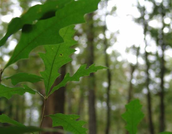
- Look for spring wildflowers on the north-facing slopes.
- Listen for red-eyed vireos high in the canopy and for Louisiana waterthrushes down low along the Mill Creek floodplain.
Natural Features:
This area with its north slopes has unusually moist forest conditions compared to many of the dry ridges and rocky south and west facing slopes on most of the rest of Peck Ranch Conservation Area. In the spring a variety of forest wildflowers bloom, including white baneberry, Jack-in-the-pulpit, golden seal, wild ginger, wild geranium, bloodroot, and bellwort. Interestingly, the seeds of wild ginger (a plant found here) are dispersed by ant species. These seeds have a structure, an elaiosome, that is rich in lipids that attracts the ants to take the seeds to their underground nest. After eating off the elaiosome, the ants discard the uneaten seed in their trash pile. Some of these seeds germinate and in this way wild ginger is dispersed across the forest floor. Many fascinating plant-animal interactions go on in our forests and woodlands.
This natural area is within Peck Ranch Conservation Area. From the junction of highways 19 and H in Winona, travel east 5 miles on Highway H to the conservation area’s entrance sign. Turn right (east) on County Road 311 (gravel) and travel for about 6.5 miles to a “T” intersection. Head left (east) and you will drive past the Peck Ranch area headquarters. Continue for 3.25 miles east past the area headquarters on Road 1 (the road is in the floodplain of Mill Creek for the whole way). At this point the natural area begins south of the road. The area is open to hunting and fishing. A map and compass are recommended to explore this area.
MO
United States