


Points of Interest:
- Hike up to bluff tops that tower over the Missouri River floodplain below.
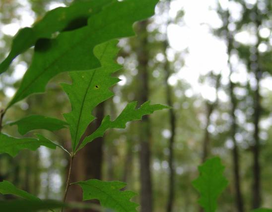
- View ancient red cedars that cling to sheer cliffs.
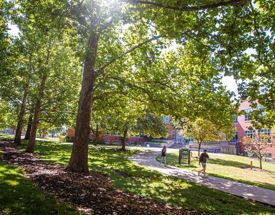
- Enjoy outstanding fall colors along the river hills.
Natural History:
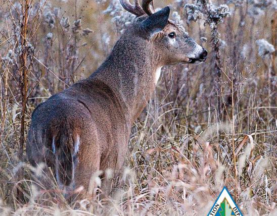
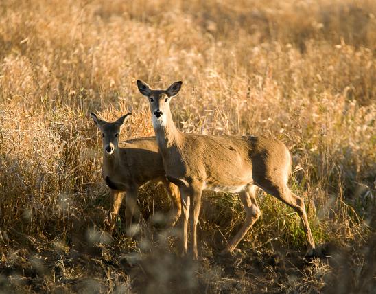
Towering bluffs of dolomite rock rise 300 feet above the Missouri River floodplain here. These bluffs were spared the widespread blasting and quarrying of bluffs that occurred during the construction of the Missouri, Kansas and Texas (“KATY”) railway from 1891–1893. The south facing bluffs make for harsh living conditions for the plants and animals that make them their home. Hot and dry in the summer and wind-buffeted and cold in the winter only hardy creatures can survive the rigors of living on these dry dolomite cliffs. Slow growing, twisted-formed and ancient eastern red cedars and chinkapin oaks grow from cracks and crevices and along cliff ledges and associated dolomite glades. Turkey vultures, cliff swallows, and eastern woodrats may nest in rocky crevices, under overhangs and rocks and along cliff edges. Giant Canada geese have been known to nest on these cliffs, safe from predators.
From the bluff top visitors can see south across the Missouri River and its floodplain. The productive farmland in the floodplain immediately below was historically named Heckman Island, named after a steamboat captain who lived in the area. On May 29, 1804 Meriwether Lewis and William Clark’s expedition camped along the banks of the Missouri River just 3/4 of a mile away and they likely saw these bluffs during their journey. Today the KATY Trail State Park runs along the base of the bluffs and the natural area. In 1893 the first passenger and freight trains began the run between St. Charles and New Franklin, Missouri. The last train to pass this way was in 1986.
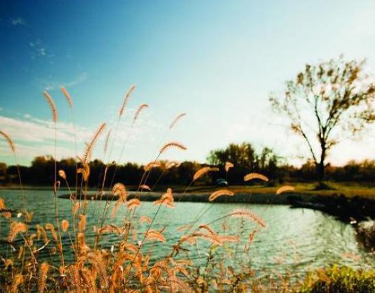
In the autumn leaf colors are often spectacular along the steep hills flanking the Missouri River floodplain in and around the natural area. Visitors to the area will also see head high big bluestem prairie grasses in small prairie openings on the top of the bluffs.
From Rhineland travel approximately 6.25 miles west on Highway 94. Then turn right (north) onto Bluffton Road (County Road 291) and travel for 0.3 mile to a parking lot and trailhead on the east side of the road. A 1 mile long hiking trail leads from the parking lot to an overlook on the bluffs. Alternatively visitors can hike or bike along the KATY Trail between mile markers 105 and 110 to see the bluffs from below. Hunting is allowed on the natural area but not the KATY Trail State Park.

MO
United States