


The Lamine River Basin is located in West Central Missouri in Benton, Johnson, Morgan, Moniteau, Saline and Cooper counties. The Lamine River originates at the confluence of Richland and Flat Creeks in northern Morgan County, and flows 50 miles northward through Cooper County to its confluence with the Blackwater River. The Lamine River above its confluence with Blackwater River is a sixth order stream with an area of 1080 square miles.
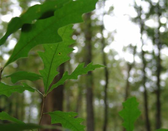
The Lamine River Basin is a rural watershed. The largest community in the watershed is Sedalia with a population of about 20,000. The area was settled by European immigrants shortly after the return of the Lewis and Clark expedition in 1804. Early descriptions of the basin indicate forests occurred along the stream valleys and steeper slopes leading to prairies on uplands. As the land was changed to agricultural use, sediment became a major pollutant affecting the river's ecosystem.
Approximately one half of the watershed is currently being row cropped while the remaining half is divided between forest and pasture. Livestock grazing occurs on approximately 83% of the forested lands in the basin. Nearly 90% of the upland forests are grazed.