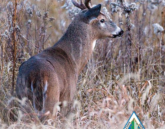

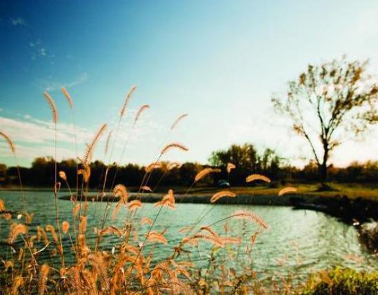


The Meramec River basin is located in east central Missouri in Crawford, Dent, Franklin, Iron, Jefferson, Phelps, Reynolds, St. Louis, Texas, and Washington counties. Found in the northeast corner of the Ozark Highlands, the Meramec River and its tributaries drain 2,149 square miles. The main stem of the Meramec's 218 linear miles carries water from the lightly populated, forested, and agricultural upper watershed north easterly to the heavily populated and urbanized lower watershed to enter the Mississippi River below St. Louis. Meramec tributaries include Courtois, Crooked, Dry, Dry Fork, Huzzah, and Indian creeks and the Little Meramec River. Meramec base flows are well sustained by springs characteristic of the region's karst topography and by drainage from the Big and Bourbeuse rivers, two major tributaries large enough to merit their own basin inventory and management plans. The Bourbeuse enters the Meramec at river mile 64.0, and the Big River enters the Meramec at river mile 35.7.
Meramec River
Watershed Documents
Watershed Status
Active
USGS Code
07140102