


ACKNOWLEDGMENTS
Thank yous are in order for numerous individuals who provided assistance on this document. Thanks to Chris Vitello for his guidance, knowledge of area resources, and input during the basin planning process. Thanks to Ron Bullard for countless hours spent analyzing and digitizing maps of the basin. Thanks also to Missouri Department of Conservation personnel and other contributors too numerous to mention.
EXECUTIVE SUMMARY
The Sac River headwaters originate near Springfield, Missouri. Major tributaries include Little Sac River, Turnback Creek, Sons Creek, Horse Creek, Cedar Creek, Coon Creek, Turkey Creek, Brush Creek, and Bear Creek. Large portions of the Sac River and Little Sac River are inundated by Stockton Lake. Truman Reservoir innundates a large area of the Lower Sac River and occasionally floods the lower portions of Coon Creek, Brush Creek, Turkey Creek, and Cedar Creek.
The Sac River basin as covered in this document encompasses an area of 1,981 square miles in southwest Missouri. Counties that are partially or entirely within the basin are Barton, Cedar, Christian, Dade, Greene, Hickory, Lawrence, Polk, St. Clair, and Vernon.
The basin is divided between the Osage Plains and Ozark Plateau physiographic regions. Most of the basin is located in the Springfield Plateau region of the Ozark Plateau. Caves, springs, and losing streams are found primarily in the southern areas of the watershed due to the soluble bedrocks (limestone and dolomite) that underlay that portion of the basin.
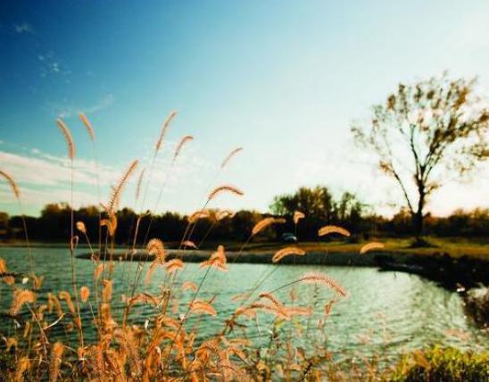
The streams found in the basin range from clear with predominantly chert gravel/cobble streambeds to turbid with silt, sand, and gravel streambeds. The Sac River is a sixth order stream where it enters Truman Reservoir.
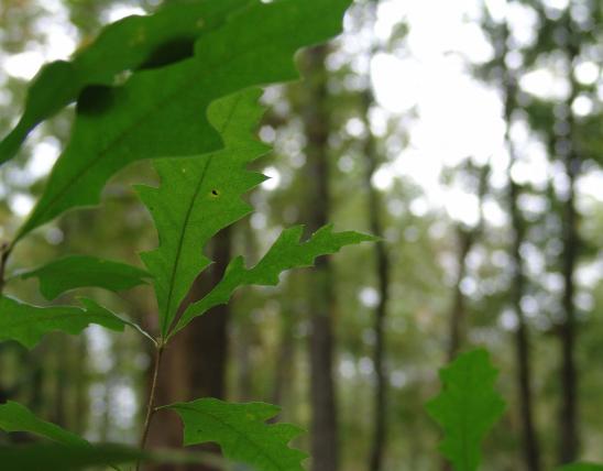
The Sac River basin is primarily rural. Land use is primarily pasture/grazing, with smaller amounts distributed among forest, row crop, and urban land practices. Animal agriculture is a major enterprise in the basin with beef cattle and dairy production being predominant.
Non-point source pollution in the basin comes from various sources including urban development and runoff, mining, land conversion from forest to pasture, livestock with free access to streams and riparian corridors, channelization, road construction, and septic tanks. Point source pollution sources include sewage treatment plants, landfills, industrial discharges, and animal feeding operations.
The Sac River basin is divided between the Ozark-Missouri and Prairie-Osage aquatic community divisions. Most streams are clear with rock and gravel substrates. Fish and other aquatic fauna unique to this area include the bluestripe darter, Niangua darter, gilt darter, blacknose shiner, and mottled sculpin.
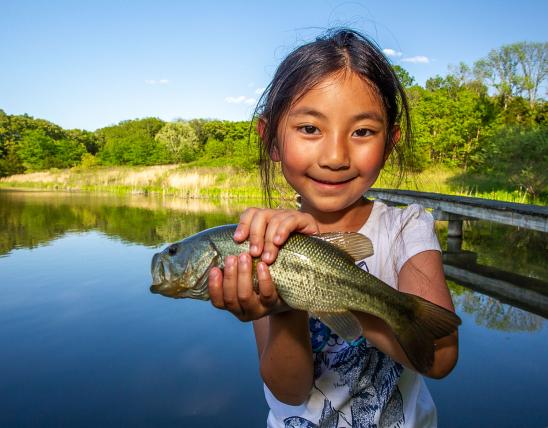
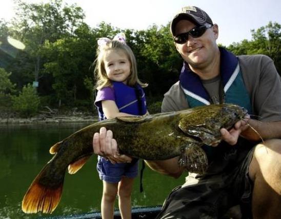
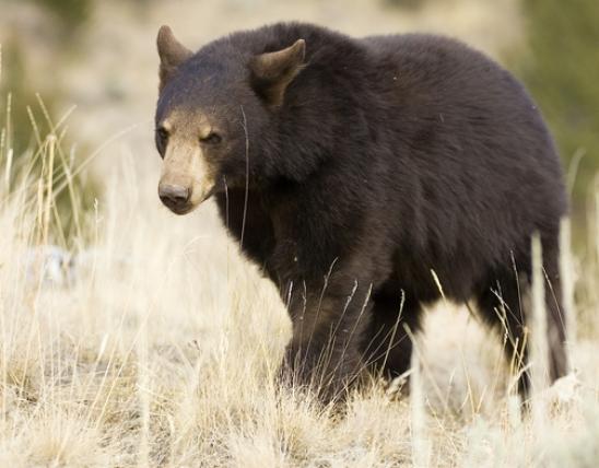
Eighty-six species of fish have been collected from the Sac River basin in Missouri. There are no fish sample records from the time period 1966-1974 for the Sac River basin. Seventy-five species were collected prior to 1983. Fifteen of these species have not been collected since 1966. The ghost shiner, bluestripe darter, and gilt darter have not been collected since 1966 and are believed to be extirpated in the basin. The least darter and blacknose shiner have not been collected since 1983 and are believed to be extirpated from the basin. Since 1991, Niangua darters have been observed during snorkeling surveys at three locations within one reach of Bear Creek and in Brush Creek. Sportfish commonly found in basin streams include smallmouth bass, largemouth bass, spotted bass, white and black crappie, rock bass, and channel catfish. Overall, the fish populations appear healthy, but declines in several species are apparent.
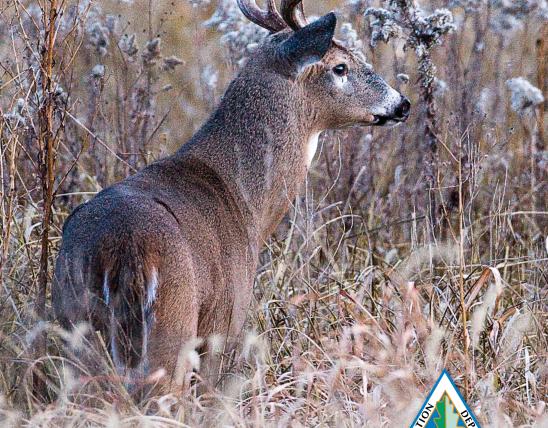
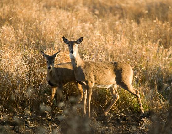
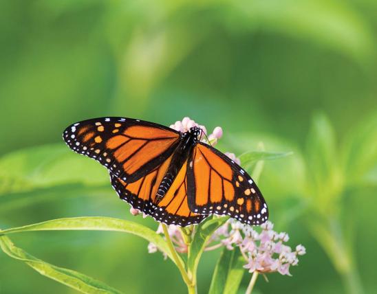
A diverse aquatic fauna including mussels, crayfish, and insects is found in the basin. There are several state listed species of concern including: northern crawfish frog, sharp-shinned hawk, Henslow's sparrow, great blue heron, upland sandpiper, northern harrier, bald eagle, greater-prairie-chicken, bristly cave crayfish, Ozark cavefish, least darter, Niangua darter, southern brook lamprey, blacknose shiner, auriculate false foxglove, pale gerardia, Mead's milkweed, Carex arkansana, common leastdaisey, geocarpon, Missouri bladder-pod, Harvey's beak-rush, soapberry, Tragia ramosa, Marsupella sphacelata, Notothylus orbicularis, prairie mole cricket, regal fritallary, black-tailed jackrabbit, gray bat, rock-pocketbook, spectacle case, elephant ear, pink mucket, Anomobryum filiforme, Archidium alternifolium, Helodium paludosum, Neckera besseri, sword moss, hair cup moss, and sphagnum. The federally listed endangered species are the Missouri bladder-pod, gray bat, and pink mucket. The federally threatened species listed for the Sac River basin are bald eagle, Ozark cavefish, Niangua darter, Mead's milkweed, and geocarpon.
This information is based on the Sac River Watershed Inventory and Assessment written by:
Rick Horton and Christian Hutson, Missouri Department of Conservation, Springfield, Missouri
For additional information contact:
Southwest Regional Fisheries Supervisor: Chris Vitello, 2630 N. Mayfair, Springfield, Missouri 65803