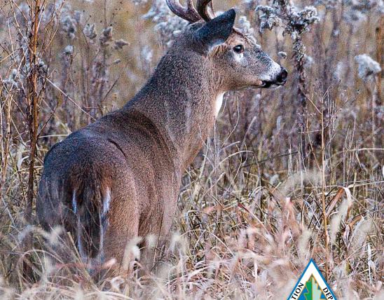


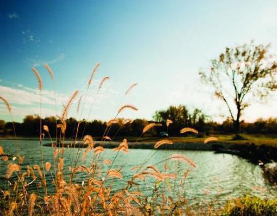
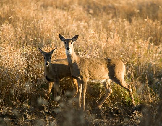


The Salt River basin drains 2,914 square miles of northeastern Missouri and lies in the Dissected Till Plains physiographic region. The North Fork, South Fork, and lower Salt River sub-basins compose 32%, 42%, and 27% of the basin, respectively. Clarence Cannon Dam, located on the Salt River approximately 63 miles upstream from its confluence with the Mississippi River, forms the 18,600 acre Mark Twain Lake. There are 165 third-order and larger streams in the basin. The North Fork Salt River is the longest stream flowing about 119 miles.
Watershed Documents
Watershed Status
Active
USGS Code
07110005
07110006
07110007