

EXECUTIVE SUMMARY
The Spring River Tributaries Watershed is located southwest of the Eleven Point Watershed and is bounded to the west by the North Fork of the White River Watershed. For the purposes of this report, the Missouri/Arkansas state line represents the southern boundary of the watershed in Missouri. The Spring River Tributaries Watershed in Missouri occupies 480.3 square miles of the Salem Plateau Subdivision of the Ozark Plateau Physiographic Region. It constitutes approximately 39% of the total area of the Spring River Watershed with the remainder in Arkansas and of which the Eleven Point River is also a tributary. The watershed occupies parts of Howell and Oregon Counties in Missouri. Caves, springs, losing streams, and sinkholes are common in the watershed. This is due to the highly karst nature of its topography. The watershed consists of three major streams which generally flow in a south to southeast direction and cross the Missouri/Arkansas border to join the Spring River in Arkansas. These streams include the South Fork of the Spring River, Myatt Creek, and the Warm Fork of the Spring River. The longest of these tributaries in Missouri is the Warm Fork of the Spring River which originates in the headwaters as Howell Creek within the city limits of West Plains, Missouri. From there, it generally flows in a southeast direction for approximately 28 miles where it then turns in a general southern direction and flows for another 10 miles before crossing the Missouri/Arkansas border. The Warm Fork becomes the Spring River at the confluence of Mammoth Spring at Mammoth Spring, AR.
Land use/land cover within the Spring River Tributaries Watershed primarily consists of grassland/cropland (49.1%) and forest/woodland (48.3%). Urban areas make up 2.4% of the watershed. The watershed has two urban areas with a population of over 1,000 persons. These are Thayer, Missouri (population 1,996) and West Plains, Missouri (population 8,913). West Plains is the largest population center in South Central Missouri. It is also a hub of transportation. Two U.S. highways and one rail line intersect the city of West Plains and thus the watershed. The population density of the watershed is approximately 43 persons per square mile. Approximately 2% of the watershed is in public ownership, nearly all of which is managed by the Missouri Department of Conservation.
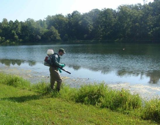
Little water quality or hydrologic data exists for the Spring River Tributaries Watershed. However existing data indicate that high fecal coliform levels, nutrient loading, and the potential disturbance of sediment and gravel budgets are the most severe threats to surface water quality.
Ground water has also experienced water quality problems relating to turbidity and high bacteria counts. It is from the ground water system that nearly all water for domestic use is obtained within the watershed. Poor land use practices, gravel dredging, large numbers of cattle, and runoff as well as sewage effluent associated with developed and urbanized areas all contribute to water quality problems of both surface water and ground water. There are two municipal wastewater discharges within the watershed. Nine additional National Pollution Elimination System discharges are also located within the watershed.
Riparian corridor land cover/land use was used as an indicator of stream habitat condition within the Spring River Tributaries Watershed. Riparian corridor land cover/land use within the watershed consists of slightly more forest/woodland (49.8%) than grassland/cropland (48.1%). The Upper Howell Creek 14 Digit Hydrologic Unit has the highest percentages of grassland/cropland and urban land use at 60.1% and 11.4% respectively. For the most part, there have been no significant channel alterations within the watershed. Some channel alterations undoubtedly have occurred in areas of the upper portion of Howell Creek and some of its tributaries in and around West Plains due to urban expansion and development. However, it is difficult to determine the time and extent of these alterations. Small channel alterations have probably occurred on private property and also from road and bridge construction. Since 1995 there have been fourteen 404 permitted operations within the watershed. Seven of these have involved bridge work.
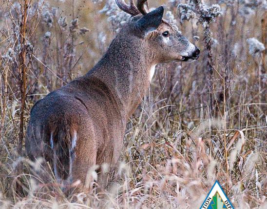
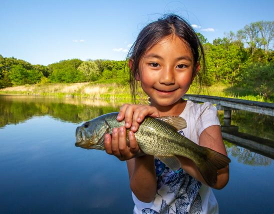
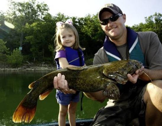
The biotic community of the Spring River Tributaries Watershed is diverse. Since 1963 forty six species of fish have been collected within the watershed. In addition, 5 species of mussels and 8 species of crayfish have been collected within the watershed. Several species of sport fish occur within the watershed including shadow bass, smallmouth bass, and largemouth bass. In addition, a total of 39 "species of conservation concern" are known to occur within the watershed. These include two fish species, one mussel species, and three crayfish species.
The management goals, objectives, and strategies for the Spring River Tributaries Watershed were developed using information collected from the Spring River Tributaries Watershed Assessment and Inventory (WAI) and direction provided by the MDC Strategic Plan, and the Fisheries Division Five Year Strategic Plan (1995-2000). Objectives and strategies were written for in-stream and riparian habitat, water quality, aquatic biota, and recreational use. All goals are of equal importance. These goals include:
- Improve riparian and aquatic habitats in the Spring River Tributaries Watershed,
- Improve surface and ground water quality and quantity in the Spring River Tributaries Watershed,
- Maintain the abundance, diversity, and distribution of aquatic biota at or above current levels while improving the quality of the sport fishery in the Spring River Tributaries Watershed,
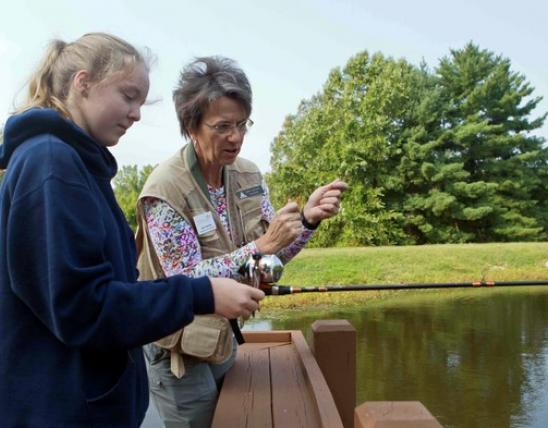
- Increase public awareness and promote wise use of aquatic resources in the Spring River Tributaries Watershed.
The attainment of these goals will require cooperation with private landowners, other divisions within the Missouri Department of Conservation, as well as other state and federal agencies.
Prepared By:
Thomas F. Wilkerson Jr., Fisheries Biologist, March, 2000
For more information contact:
Missouri Department of Conservation 618 Preacher Blvd. West Plains, Missouri 65775